
Fairfield ZIP Code Areas and Their Reach
Three ZIP codes matter most for a Fairfield ZIP code directory search. They serve different parts of the city and adjacent geography, and one is tied to Travis Air Force Base. Postal delivery areas do not follow the incorporated line, so the ZIP is a starting filter rather than jurisdiction proof.
| ZIP code | Fairfield-area coverage | Post-office context | Record-search note |
|---|---|---|---|
| 94533 | Central and east Fairfield plus Travis-area residential addresses | Fairfield delivery; Fairfield Post Office, 600 Kentucky Street | Main civic and government geography; city line still needs verification |
| 94534 | West and northwest Fairfield, Cordelia, and Green Valley business and residential areas | Fairfield delivery | Can include nearby geography; test parcel jurisdiction |
| 94535 | Travis Air Force Base | Travis AFB Post Office, 465 Skymaster Circle | Installation postal identity and different access conventions |
The researched ZIP list did not verify a Fairfield PO-box-only ZIP, so none is added here. It also did not support adding nearby Suisun 94585 merely because it is adjacent. A present mailing label should be checked through USPS, while a city or county question belongs in GIS.
Verify Fairfield ZIP Code Mail With USPS
The USPS ZIP Code Lookup accepts a street address, city, and state and returns a standardized mailing address and ZIP. Its Cities by ZIP mode explains acceptable city names. Use that result to normalize a source address before searching a Fairfield ZIP code directory, but do not use a postal city as proof of incorporation. GIS answers the jurisdiction question.
A postal code can be written on a deed, business filing, license, obituary, or old directory even when the underlying parcel lies outside Fairfield. The mailing label helps find the record. The APN, legal description, permit jurisdiction, or map boundary determines which custodian owns the record.
- Postal code
- A USPS delivery area used to route mail; it is not a legal city boundary.
- ZIP+4
- An added four-digit delivery segment that refines a five-digit ZIP for mail routing.
- PO-box ZIP
- A ZIP assigned mainly to post-office boxes, with no verified Fairfield example in the supplied research.
- Unique ZIP
- A postal code tied to one organization or installation, such as a specialized base geography.
- Carrier route
- A delivery sequence within a postal area, not a resident roster.
Fairfield Postal Area 94535 Is Different
ZIP 94535 is tied to Travis Air Force Base, not an ordinary Fairfield neighborhood. The base’s postal identity, access rules, and historical records differ from civilian city records. Military affiliation does not mean a person will appear in local civilian rolls, and current rosters should not be expected. For history, use base newspapers, public unit histories, museum material, obituaries, and National Archives sources.
The Travis AFB Heritage Center preserves the Fairfield-Suisun Army Air Base and Travis story through exhibits on WWII, Korea, Vietnam, the Berlin Airlift, aircraft, uniforms, the 60th wing, and General Travis’s 1950 crash. Its public pamphlet dates federal approval of a 945-acre field to April 22, 1942 and transfer to Air Transport Command to February 8, 1943. Those dates help explain why a historical Fairfield ZIP code directory may use a base or post-office clue rather than a civilian street.
Use 94535 to identify the postal context, then stop short of inferring a current person or household from military geography.
Fairfield ZIP Code Boundaries Have a History
A USPS Postal Bulletin records an effective July 1, 2002 Fairfield delivery-area change from old ZIP 94533 to new ZIP 94534. That matters for prior residents and old directories. A present address in 94534 may appear under 94533 in a pre-July-2002 source. Search both codes when the document date spans that change.
A practical postal research note should store the five-digit label exactly as printed, the USPS city returned for the address, the source date, and the parcel’s APN when available. Keep 94533 and 94534 together when a record spans the July 1, 2002 realignment. If a source gives only 94535, identify Travis AFB’s installation context before comparing it with a civilian Fairfield address. That chronology prevents an old mailing label from being mistaken for a present city boundary or household.
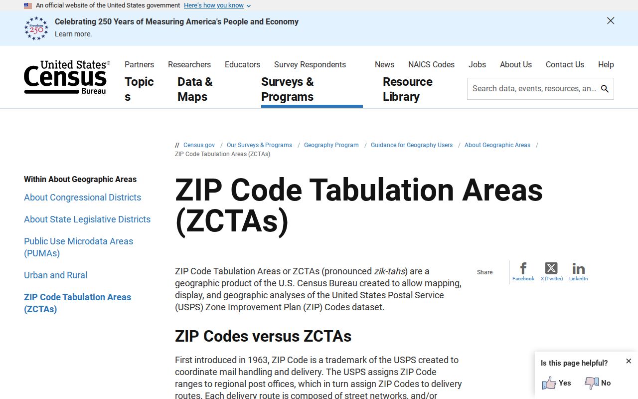
Do not compare a postal area directly with Fairfield’s city population. Census ZCTAs are statistical approximations built for data analysis, not USPS routes or city limits. The 2020 population reported for ZCTA 94533 was 77,380, but that figure should not be treated as Fairfield’s population or as a count of directory entries.
The Census ZCTA guidance explains the statistical boundary behind the map.
A ZIP-code history section belongs in a Fairfield ZIP code directory because old records preserve old mailing geography. Keep the publication date beside the code and confirm the parcel separately.
Find Fairfield Records by Postal Area
A ZIP-keyed search narrows geography, but the available portals differ. California Unclaimed Property accepts ZIP as an optional filter. Business and license systems may accept city or address fields. A county permit lookup can accept a ZIP alongside street details. The assessor search begins with APN or street address rather than a public ZIP-wide resident browse. The voter self-lookup has no ZIP browse at all.
- Normalize the address with USPS and keep the five-digit ZIP alongside the source date.
- Use GIS to test whether the parcel lies inside Fairfield, in Cordelia or Green Valley, on base, or in county territory.
- Filter a record system that actually accepts ZIP, such as ClaimIt, then label the result as a mailing or reported-address clue.
- Use APN, deed, permit, business, court, or license records to confirm the relevant custodian.
- Once a ZIP narrows to a road, switch to the Fairfield street directory for the address and parcel chain.
| Portal | ZIP-related field | What the result means |
|---|---|---|
| California Unclaimed Property | Postal code | Optional filter for a reported property address; stale clue only. |
| Solano Accela lookup | City, State, Zip | Permitting geography, mainly county or unincorporated work. |
| USPS ZIP Lookup | Street address, city, state | Standardized mailing route, not city jurisdiction. |
| My Voter Status | No ZIP browse | Authenticated self-service registration check. |
A Fairfield ZIP code directory is most useful as a filter and cross-check. It becomes misleading when a postal area is treated as a complete list of residents.
Fairfield Mailing Areas Around Cordelia and Green Valley Need GIS
West and northwest Fairfield, Cordelia, and Green Valley create the central geography trap. A parcel may use a Fairfield mailing city while sitting outside the incorporated city, or a business address may use a postal label that covers more than one jurisdiction. Fairfield Building Safety handles incorporated city work. County Resource Management may handle rural or unincorporated parcels. A ZIP alone cannot choose between them.
Run the address through USPS for mailing format, Solano GIS for the city line and parcel, the assessor for APN and situs, and the recorder for legal description. If a permit is missing from Fairfield BUILD, the boundary check may explain why. The same cross-check prevents an old directory’s town label from being mistaken for a modern jurisdiction.
The Fairfield-Suisun urban area also crosses records language. Historical newspapers, schools, cemeteries, directories, and the Amtrak station can use “Suisun” for a regional connection. Keep the mailing ZIP, place label, and legal parcel as separate fields in the research note.
A Fairfield ZIP Code Filter Can Reveal an Old Clue
California’s ClaimIt search is one of the few researched people-linked tools that accepts a ZIP directly. Last or business name is required unless a Property ID is entered. First name, city, and ZIP refine the query. A result may show the owner name, reported address or city, property type, reporting business, and Property ID before a claim action.
For Fairfield research, try both the present postal label and an older one when the date spans the July 1, 2002 delivery-area change. Treat a result as a stale financial or mailing clue. It may connect a person to Fairfield years ago, but it does not establish current residence, ownership, or a complete household. Use the Property ID to return to the same claim rather than widening a name search without a date.
The ZIP filter is most helpful when joined to an independent source. A directory page, newspaper, business filing, probate record, or deed can explain the old address. If no second record supports the link, keep the result as an unconfirmed clue.
Fairfield Mailing Lines Are Not City Lines
ZIP boundaries and Fairfield city limits answer different questions. USPS designs delivery areas for mail. Fairfield and Solano County define jurisdiction for permits, property services, and local records. A 94533, 94534, or 94535 label can point to the right postal route while still requiring GIS to decide which agency keeps a permit or parcel record.
The safest postal-area directory entry names the postal context, the likely area, and the verification step. Do not describe a ZIP-wide result as every resident. Business, license, court, and unclaimed-property results reflect the address or affiliation the source reports. For a full address chain, narrow the ZIP, then use the Fairfield street directory and its APN-based workflow.
Boundary check. Verify the mailing ZIP with USPS, the parcel and city line with Solano GIS, and the record custodian with the actual address jurisdiction.
The Fairfield Post Office uses 600 Kentucky Street, while the Travis AFB Post Office uses 465 Skymaster Circle. Those facilities reinforce the postal distinction, but neither address turns a delivery area into a residents directory. Keep postal routing, city jurisdiction, and a person-linked record as three separate facts.
When a record shows only a ZIP, preserve it as written and seek a street, APN, case, or entity detail before naming a Fairfield custodian.